Introduction
Representation of 3D Data in the Data Inspector
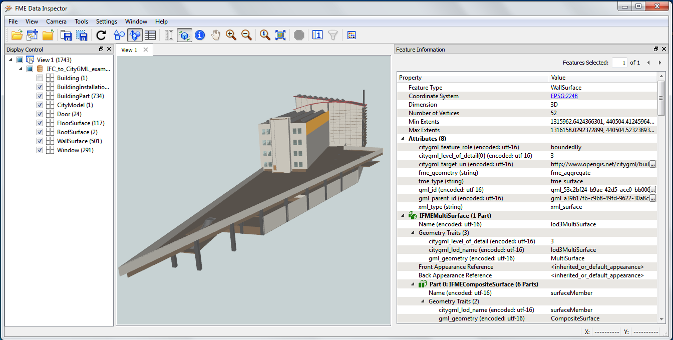
The Data Inspector provides a powerful tool with which to read and inspect 3D data.It not only renders 3D data,but also exposes the richness of the attribute and geometry structures so that you can explore every component of it.Data Inspector will display some things differently in 2D vs 3D.For example,rasters can only be displayed in 2D unless they are draped on a surface in which case they will show up in 3D mode.
Considerations
It should be noted that the way FME renders 3D data may vary significantly from how it may appear in other viewers.So it is important to include the desired destination application when evaluating FME results.Also,by its nature,3D rendering is a processing and memory intensive task.As such,there may be datasets which can be processed by FME but not displayed.It's worth remembering that in some cases you may need to use FME 64-bit to view or process large datasets,as it does not have the memory limitations of FME 32-bit.If you are opening a large dataset,it's generally a good idea to only select a few layers at a time and zoom into an area of interest rather than trying to render the whole model at once.
Examples
To see how FME handles a variety of 3D datasets,download the datasets below and try opening any of them in the Data Inspector.
Downloads
This zip file includes: 3D_buildings.dwg,building_outlines.dwg,and LAS.las.
Instructions

1.Start FME Data Inspector
Download the source data from the Downloads section and start up FME Data Inspector.
2.Open a Dataset
You can add your datasets by selecting the first yellow folder icon on the top left ribbon,or going to File > Open Dataset.
3.Select the Format and Dataset
Choose a dataset to view and press OK.For example:
Format: ASPRS Lidar Data Exchange Format (LAS)Dataset: Downloads\source_data1\LAS.las
You can select multiple datasets at the same time by pressing and holding the Ctrl key while selecting,or you can add another dataset to the current view by clicking the folder icon with a plus sign.Add the rest of the datasets that you wish to display to your view.
4.Explore Your Data
When working with 3D data,here are some quick tools and navigation tips:
- Press and hold the mouse wheel to pan in orbit mode or just click with
selected
- Make sure you have the Lock the Current View in 3D selected to view in 3D
- Toggle this icon if you would like to lock your view in 2D


It's good practice to visualize and explore your data before beginning your workspace when you can.The inspector provides valuable information about features including their feature type,coordinate system,dimension,extents,and attributes,among other useful tools.
Validation of 3D data
It's always a good idea to make sure you have valid input data before you attempt a translation.This is particularly true for 3D data given the potential complexities.TheGeometryValidatorprovides a set of tests for 2D geometries like lines and polygons,and 3D geometries like surfaces and solids.In general,it is recommended to check for a small number of issues at a time,and use severalGeometryValidatorsin a series to identify invalid features more easily.It is also a good idea to start with the least complex tests.In terms of 3D data validation,it is important to make sure that all single geometry parts are valid 2D features first.TheGeometryValidatorcan also attempt to repair invalid features,but it is necessary to double check the quality of repaired features.It is possible that altered features may not fulfill all initial requirements.